Facility Information Services
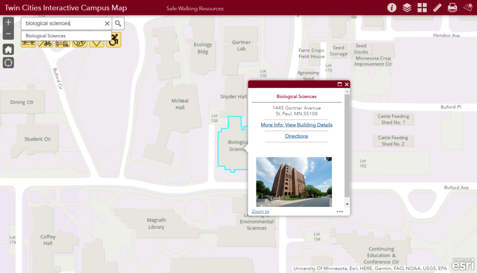
The FIS Geographic Information Services (GIS) team develops and supports static, web and mobile maps and map-centric applications. GIS data and tools support critical asset management, facility & real estate information and geospatial analysis tasks.
